From space .. Jordan's spring is clearly visible through Arab weather satellite images

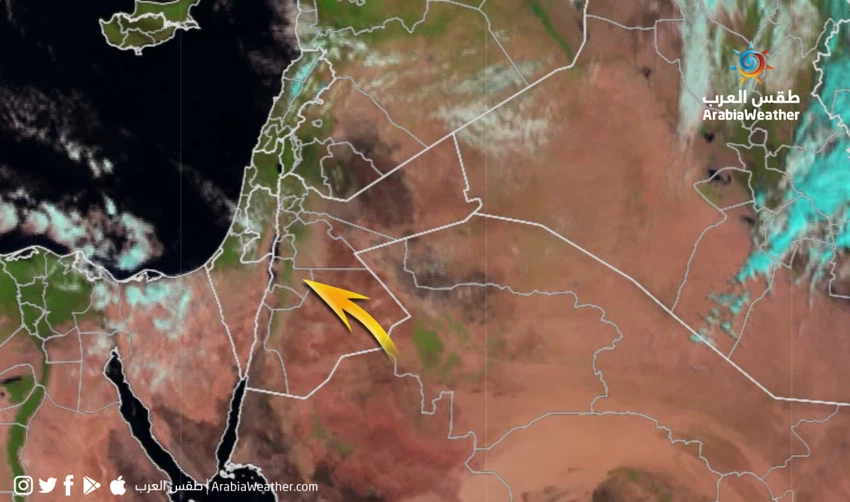
Arab Weather - Natural satellite images of the Arab Regional Weather Center showed the spring vegetation cover, which seemed very clear, which extended from Irbid Governorate in the north to the heights of the Sharah Mountains in the south of the Kingdom, with its concentration in the northern and central western regions.
The rainy conditions that affected the Kingdom recently contributed to an increase in the density of vegetation in light of the availability of rain, which was followed by a general warmth in the atmosphere and brightness in the sun, which means that a greater amount of sunlight reaches the surface of the earth and plants, which stimulates the growth of plants and tree leaves.
Vegetation has also appeared in the Al-Sharah Heights in the south of the Kingdom, after those areas were characterized by good rainfall during the rainy season, thank God.


Arabia Weather App
Download the app to receive weather notifications and more..