Jordan | Weather swings awaited and a `fast` cold air front crossing Thursday night

Weather of Arabia - Muhammad Aouina - It is expected that the Kingdom will be affected on Wednesday by a quintuple air depression associated with the prevalence of warm and dry climates throughout the regions, while the atmosphere will change with the evening hours of Thursday due to the approach of a cold air mass from the region.
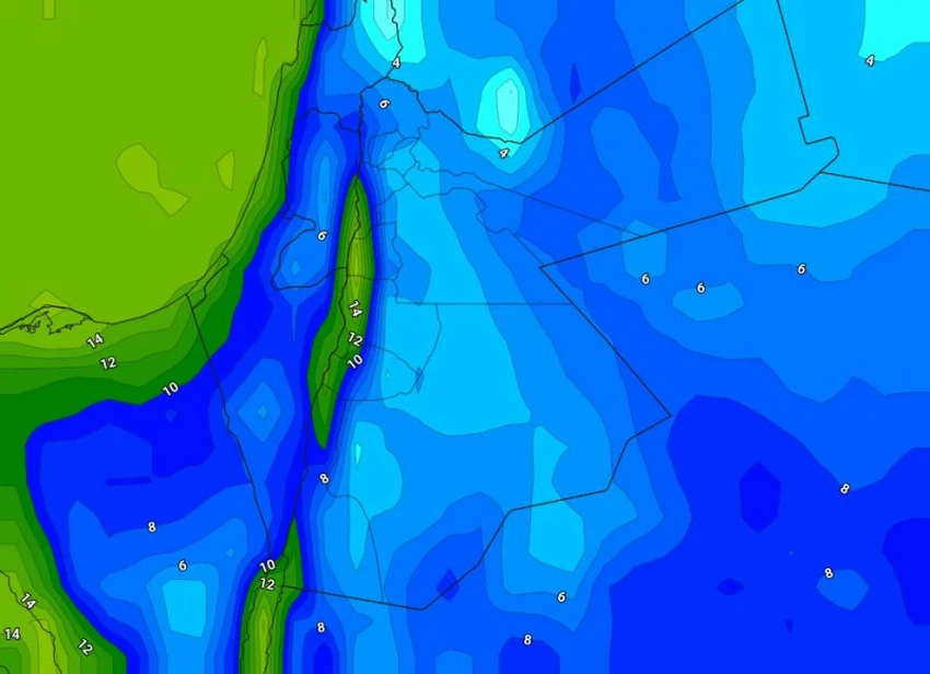
Wednesday ... a five-point air depression
On Wednesday, a Khamasini depression moves gradually towards the eastern region of the Mediterranean, so that the temperatures continue to rise to become higher than their levels by about 8-10 degrees Celsius, with the emergence of quantities of medium and high clouds interspersed with local "muddy" showers of rain in separate regions of the Kingdom.
The winds will be southwesterly active at speed, which increases the amount of dust in the air gradually during daylight hours, as the weather turns dusty in most regions.
During the day on Thursday, the Kingdom continues to be affected by the same Khamasini depression, so that dusty and dry atmospheres prevail, coinciding with the approach of a cold air mass from the region , so temperatures decrease significantly while remaining higher than their rates for this time of year, and the concentration of dust increases in The atmosphere, and the south winds are active westerly, with strong gusts sometimes, especially in the southern and eastern regions of the Kingdom.
A "fast" cold air front of the depression crosses shortly after midnight on Thursday / Friday
Starting on Thursday evening 11-3-2021, the actual impact of severe and large weather fluctuations awaited the Kingdom begins, as a cold air mass rushes towards the Kingdom's atmosphere, for the temperature to decrease significantly and cool conditions prevail in all regions.
At midnight Thursday / Friday, the region crosses a cold and highly effective air front, affiliated with the deep depression that will be concentrated on the surface in the northeast of the Syrian lands, as a result of which clouds multiply at different heights, and showers of rain, God willing, will fall in the north and center of the Kingdom, and the southern highlands. , Accompanied by thunder and showers of hail , with high chances of the formation and flow of torrents in valleys and low-lying areas.
The depression is associated with precipitation in the north, central and south of the Kingdom, estimated at amounts ranging from 10-30 mm within a short period of time that is concentrated at dawn and Friday morning.
Active to strong winds raise dust waves in large areas of the Kingdom
The winds are westerly active in speed, with strong gusts of speed ranging between 70-80 km / hour , while they reach the limits of 100 km / hour in the eastern desert areas and the highlands of the south of the Kingdom, and the atmosphere is dusty in large parts of the Kingdom with a low range Horizontal visibility in the southern and eastern regions.
The impact of the depression gradually diminishes with the hours of Friday evening and night
It is expected that the impact of the depression will gradually diminish with the hours of the evening and night of Friday, after the depressions move eastward towards Iraqi lands, and low clouds touching the surface of the earth will cross over the mountain heights, especially the high ones, which leads to the spread of fog and a decrease in the range of horizontal visibility.
It forms for frost, especially in the eastern Badia and the Al-Sharrah Mountains
The weather on Friday / Saturday night will be very cold in general, with frost forming in some areas, especially in the eastern Badia regions and the Al Sharah Mountains.
ArabiaWeather Company shall not be responsible for any republication. The materials published in the “Arabia Weather Blogs” in the various media, which puts anyone who publishes these blogs in the name of the Arabia Weather or quoting the Arabia Weather under liability and legal accountability.


Arabia Weather App
Download the app to receive weather notifications and more..