watched The snows of Karak and Tafila appear from space through satellite images
2022-01-20
2022-01-20T14:14:00Z

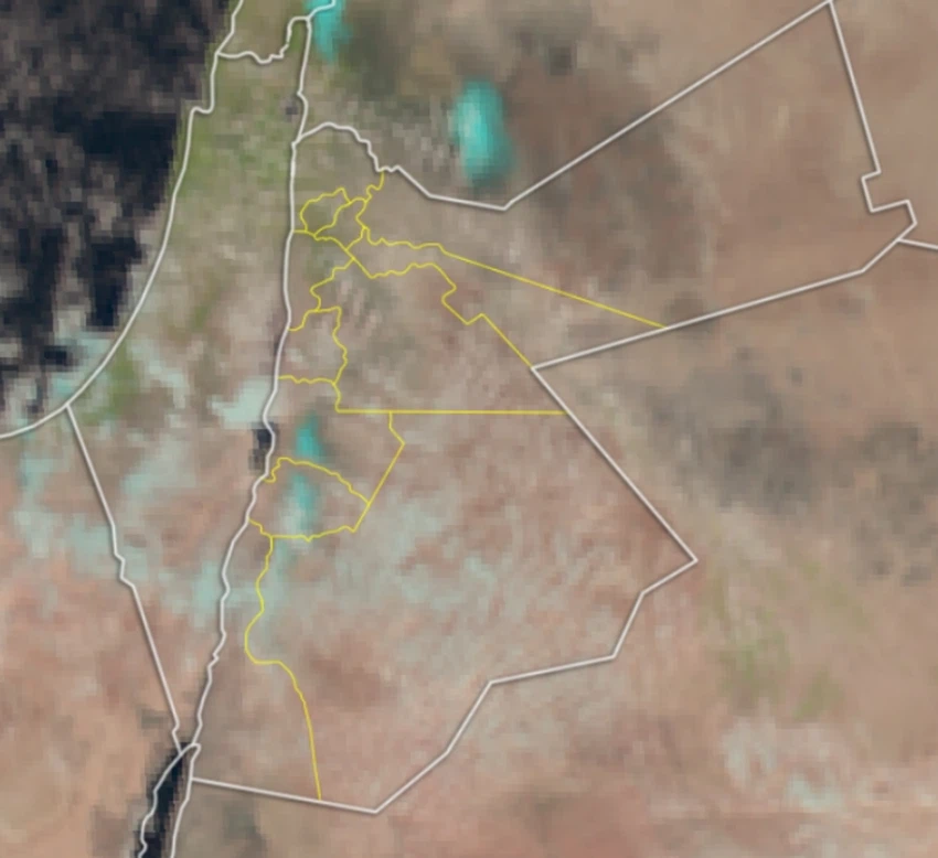
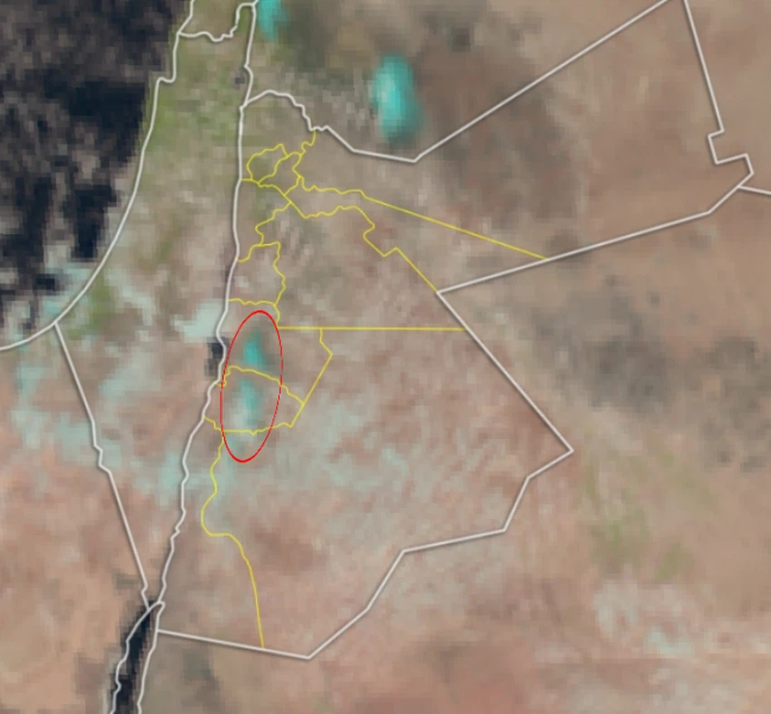
Arab Weather - The newly captured natural satellite images operated at the Arab Regional Weather Center clearly monitored snow, covering the mountainous peaks of the southern highlands of the Kingdom.
Where the satellite images showed a snapshot of the accumulated snow over the Karak and Tafila heights, in the far south of the Kingdom.
Snow satellite imagery
For more news, download the Arabia Weather app from here
This article was written originally in Arabic and is translated using a 3rd party automated service. ArabiaWeather is not responsible for any grammatical errors whatsoever.


Arabia Weather App
Download the app to receive weather notifications and more..