Weekly weather forecast | A moderate start in the atmosphere ... and a radical change in the atmosphere shortly after the middle of the week

Arab Weather - Muhammad Aouina - It is expected that the temperatures during the first half of the week will be higher than their normal rates for such time of the year, and with the direction towards the middle of the week the temperatures gradually decrease as a result of the approach of a very cold air mass west of the Turkish lands, and the indicators increase by the models Globalization to a direct impact of the polar bloc towards the Levant, including the Kingdom, after the middle of the week, God willing.
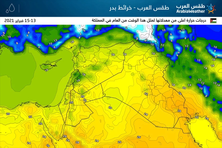
First half ... Stable weather, warmer than usual
With the beginnings of the week (Sunday and Monday), the weather is warmer than usual for this time of the year in most regions and relatively hot in the Jordan Valley, the Dead Sea and Aqaba, which makes the atmosphere suitable for trips, especially in the Dead Sea and Aqaba, and the sky is clear in most areas, this comes as a result The rush of dry, warm currents from the Libyan desert towards the region.
With the hours of the day on Tuesday, and despite the low temperatures, moderate weather remains prevalent , and the winds are southwesterly to westerly moderate, and at times activate and cause dust and dust in some areas, especially the south , with the appearance of quantities of clouds at different heights that may work on showers Local rain in some areas .
Prevailing air systems
The consequences and features of the recovery of the polar vortex in parts of the Arctic Circle, in addition to accelerating changes in the distribution of air systems in the Arctic Circle , specifically in and around Greenland, and the retreat of the Atlantic storms northward towards Greenland, to the excitation of the air height towards important areas in the west and central The European continent, coincides with the affected east of the old continent by a very cold "huge" air mass.
While parts of the central Mediterranean are affected by an Atlantic atmospheric depression, this depression works to attract the polar mass that separates from the parent mass towards the Crete Basin, so that this depression becomes the main driver of the polar mass , which moves towards the basin of the island of Cyprus.
In light of this, very cold and humid air masses rush through the eastern European continent to the eastern basin of the Mediterranean Sea, accompanied by a decrease in air pressure in the Cyprus Island Basin, which creates winter depressions, God willing, in the Levant.
Tuesday evening ... the approach of the depression towards the region, accompanied by a polar air mass of origin
The weather is expected to gradually begin to change from the early evening hours of Tuesday , when temperatures drop significantly compared to a somewhat warm Monday, and clouds gradually intensify and sporadic showers of rain are possible in parts of the north and center of the country .
With the late hours of Tuesday / Wednesday night , the country crosses a cold air front, working on rain, God willing, in the north and center of the country and the southern highlands.
Wednesday: a winter day par excellence .. and snow on the mountain heights
On Wednesday, the country will be under the influence of the air depression and the accompanying very cold air mass, and the weather, God willing, will be very cold and rainy at intervals , with strong westerly winds accompanied by strong gusts sometimes touching the barrier of 100 km / h, and they are causing dust, especially in the southern regions, and the opportunity is Prepared for intermittent snow showers over the high mountain elevations, especially in the north.
With the evening hours and as a result of the continuous flow of very cold air currents towards the Kingdom, it is expected that the air efficiency will increase , as rainfall is regular, and it will be heavy at times and may be associated with falling hail, and it is also expected that snow will fall over many mountainous heights, including parts of Jordanian cities and the capital. Amman, this matter would accumulate snow, as soon as it falls, God willing.
ArabiaWeather Company shall not be responsible for any republication. The materials published in the “Arabia Weather Blogs” in the various media, which puts anyone who publishes these blogs in the name of the Arabia Weather or quoting the Arabia Weather under liability and legal accountability.


Arabia Weather App
Download the app to receive weather notifications and more..